Intelligence from orbit to ground.
AIQ is a software-first geospatial company. We unify satellite, drone, and rover data in one platform - IRIS ONE - and turn it into real-time, actionable intelligence for governments, enterprises, and defence.
It starts in orbit.
Wide-area monitoring from space - multispectral and radar imagery, continent to coastline, and change over time.
Closer, from the air.
Survey-grade detail - centimetre-accurate maps, 3D models, and inspection of any site or asset.
All the way to the ground.
Autonomous ground systems that capture the last mile of detail - where it can't be seen from above.

Convergence · The Platform
Three vantage pointsOne platform
Space, air, and ground data converge in IRIS ONE through our suite of Photogrammetry, Analysis, Visualisation and Mission Planning software.
Every layer feeds a single platform - processed, analyzed, and delivered as maps, models, and answers. Software-first and AI-powered, so you get intelligence, not just imagery.
Capture
Satellite, drone, and rover data - unified in one place.
Process
Automated photogrammetry and satellite pipelines, at scale.
Analyze
GIS in the browser or on the desktop - indices, change, and 3D.
What changed in sector 4?
3.2% canopy loss detected since Q2.
Decide
A generative-AI analyst that answers questions in plain language.
Industries We Serve
Built for the decisionsthat matter
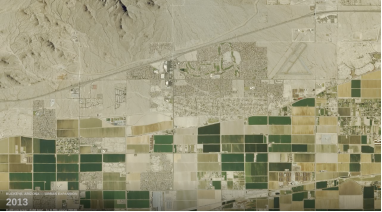
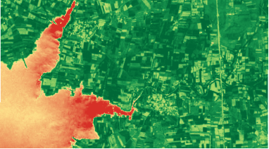
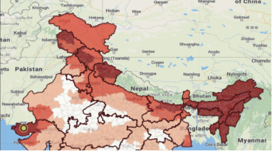
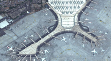
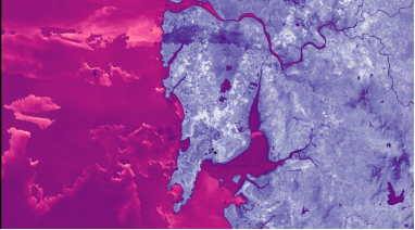
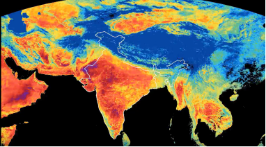
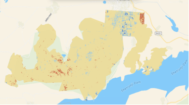
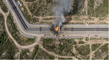
Why AIQ
Multi-domain. Software-first.
Built to scale.
Every vantage point
Space, air, and ground- in one intelligence platform.
Across Your Operations
Impact at every
stage
From first plan to full integration, AIQ strengthens the whole operation.
Planning & setup
Plan and prepare deployments with better information from day one.
Demand & growth
Forecast demand and plan growth with cost in view.
Asset management
Monitor and manage assets continuously, with less manual effort.
Compliance
Back regulatory reporting with accurate, verifiable data.
Integration
Plug into existing systems to shorten the path from data to decision.
AIQ Space is building the intelligence layer between autonomous sensing systems and human decision-making
Space, air, and ground - in one platform, built software-first.