From raw data to decisions
in one platform
A software-first geospatial stack that processes drone and satellite data at scale, then turns it into maps, models, and intelligence you can act on.
Why it matters
Built on serious compute.
Software-first, cloud-native and on prem based, GPU-accelerated, AI-powered.
GPU-accelerated pipelines
Photogrammetry and imagery processing that scale with the workload, not your hardware.
Cloud-native, petabyte-scale
Satellite data processed on demand, across any region on Earth.
Async & distributed
Background workers run large multi-year, multi-index analyses- unlimited concurrent jobs, results in minutes.
Your hardware or ours
Deploy on-premise for control, or run in the cloud for scale.
AI at the core
Multi-agent AI and ML models turn data into answers, not just layers.
Engineered for throughput
A processing backbone built to grow with data volume and users.
THE PROCESS
The data journey, end to end.

THE SUITE
Multiple modules,one pipeline
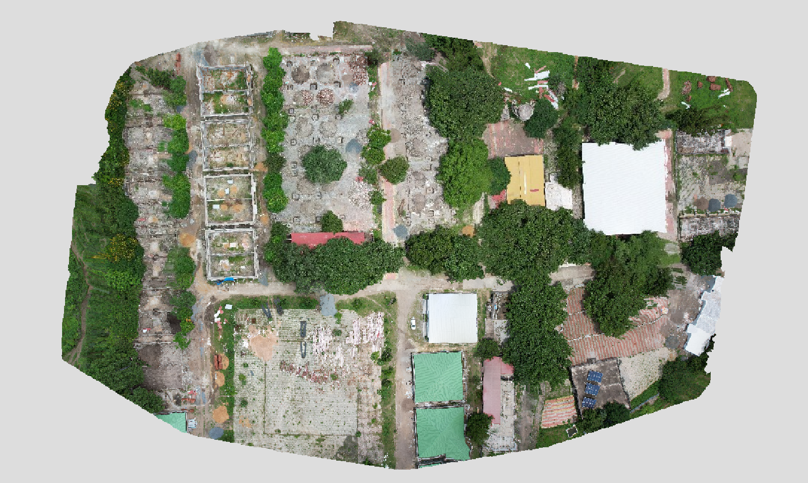
Upload your drone images. Get survey-grade maps and models - automatically.
One-click photogrammetry that turns raw drone imagery into professional, analysis-ready deliverables. No expertise, no setup.
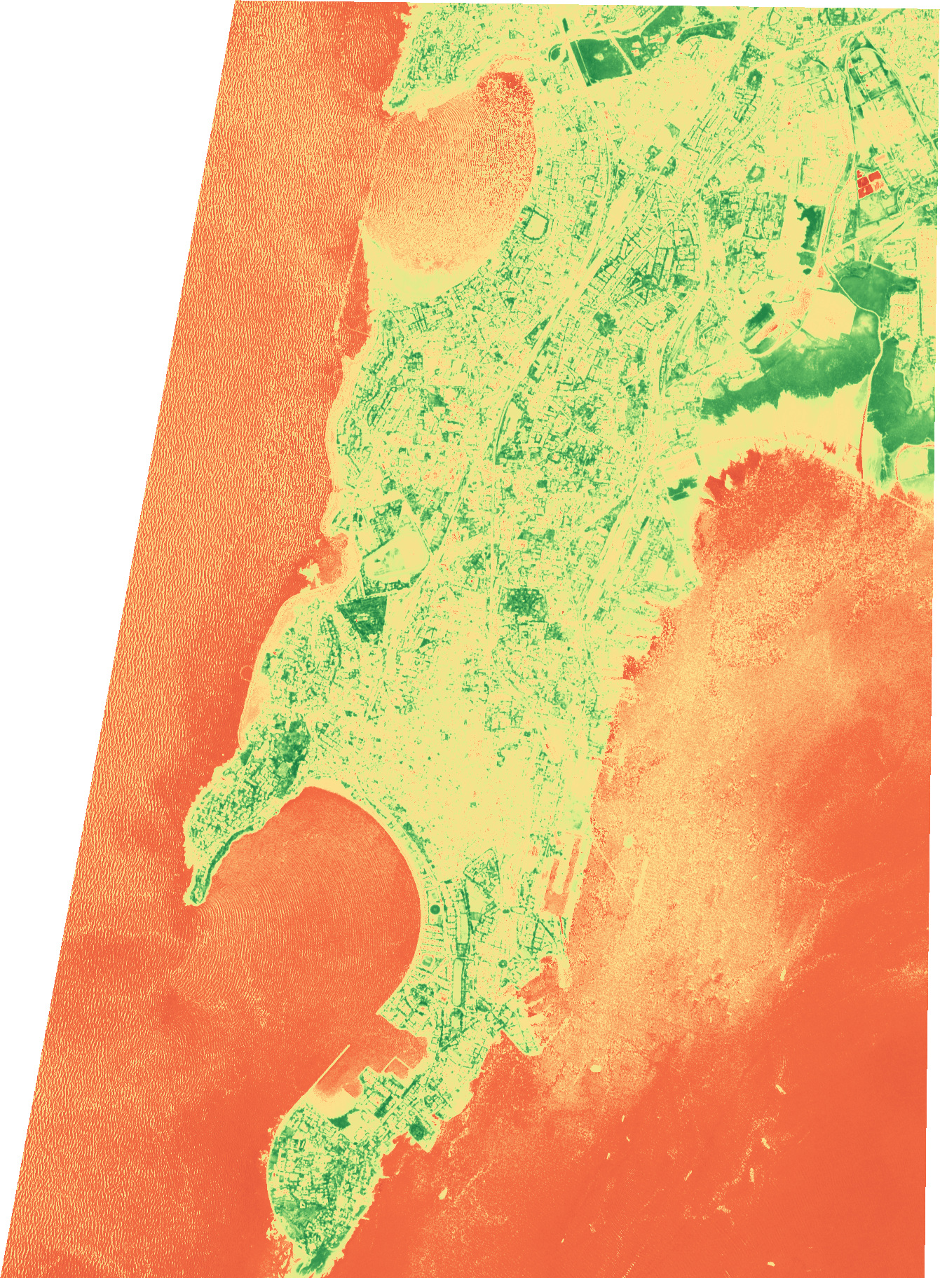
Draw an area. Pick your dates. Get analysis-ready satellite intelligence.
An automated engine that fetches, fuses, and analyzes optical and radar satellite imagery - for any area, any dates, any index.
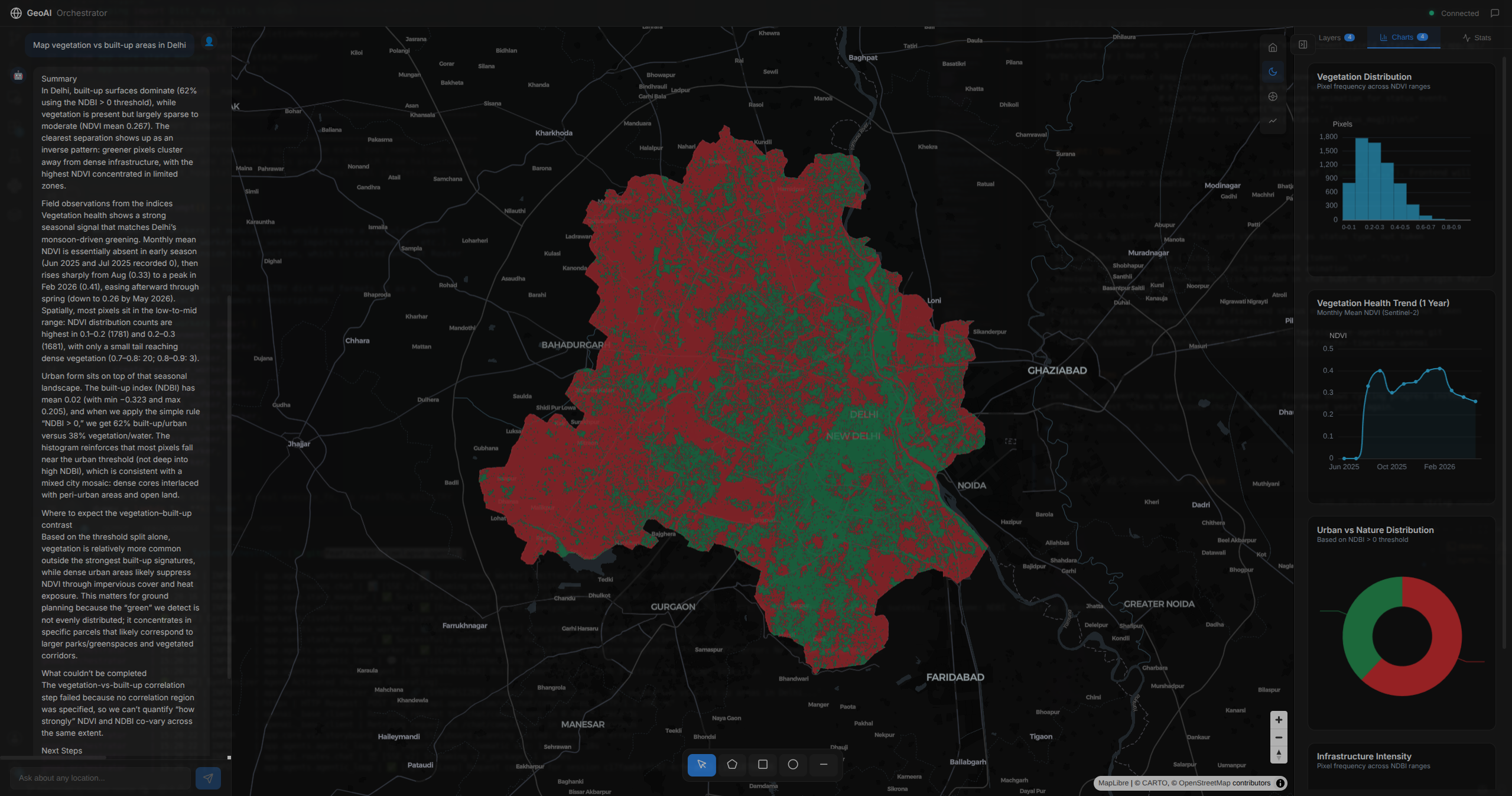
Ask a question. Get a map, a chart, and a clear answer.
A generative-AI analyst that turns plain-English questions about any place into decision-ready intelligence, in minutes.
One suite, from capture to decision.
Photogrammetry, satellite intelligence, browser-based analysis, and a generative-AI analyst - built software-first, to scale.