SolutionsSatellite Intelligence Layer
Draw an area. Pick your dates. Getanalysis-ready satellite intelligence
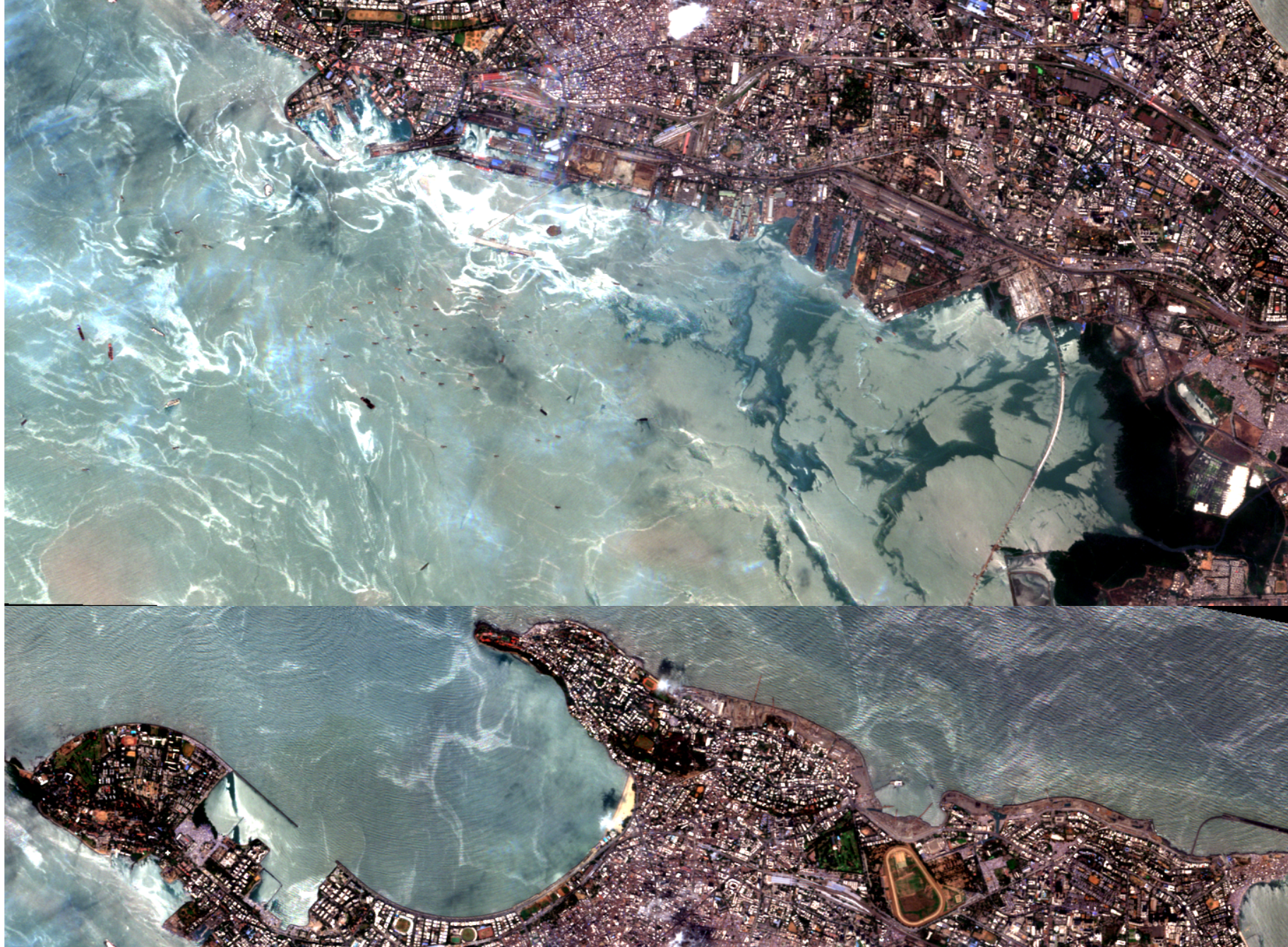
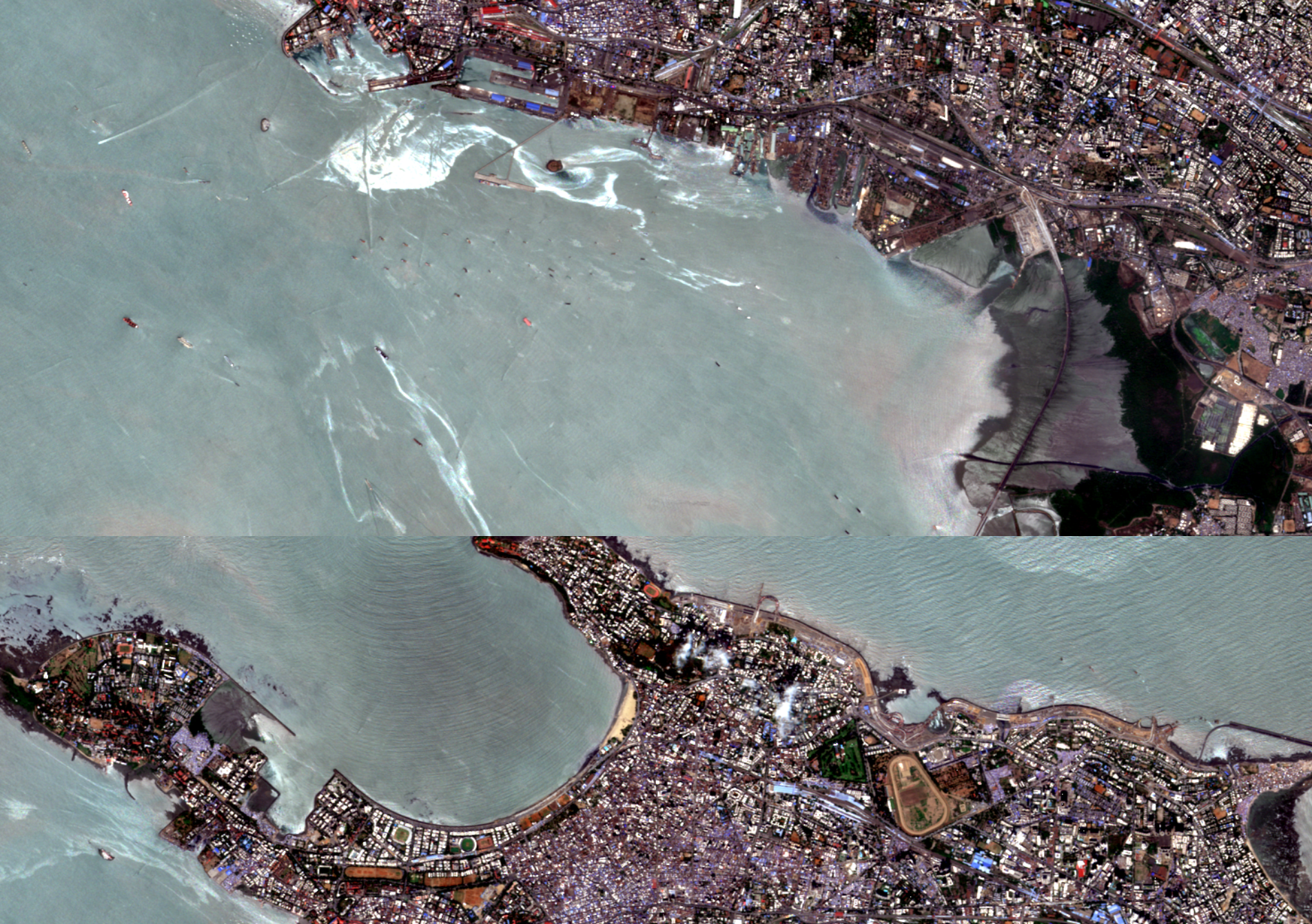
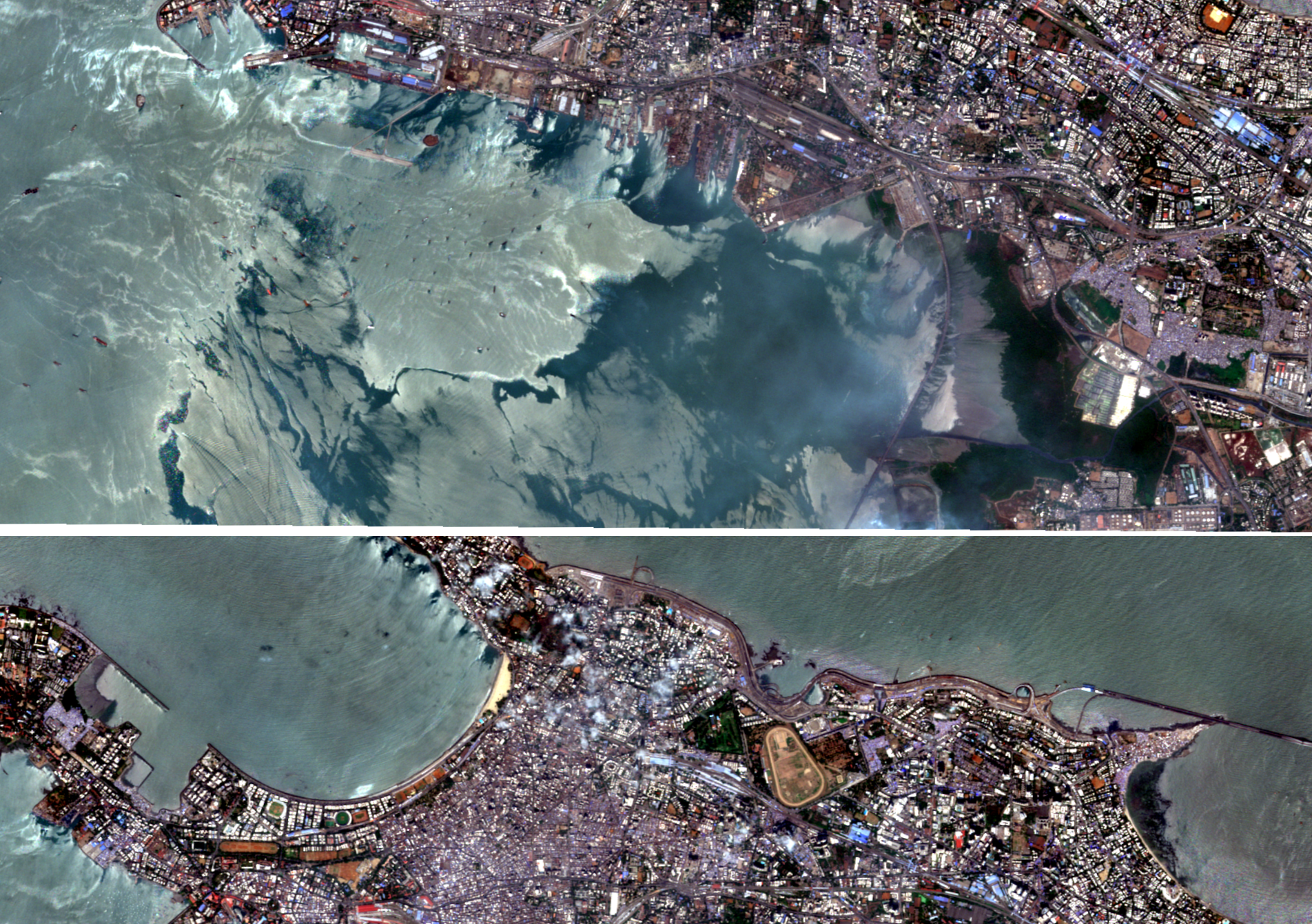
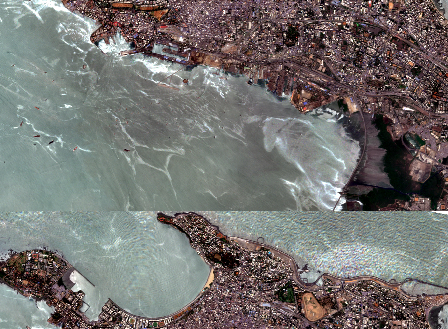
An automated engine that fetches, fuses, and analyzes optical and radar satellite imagery - for any area, any dates, any index.
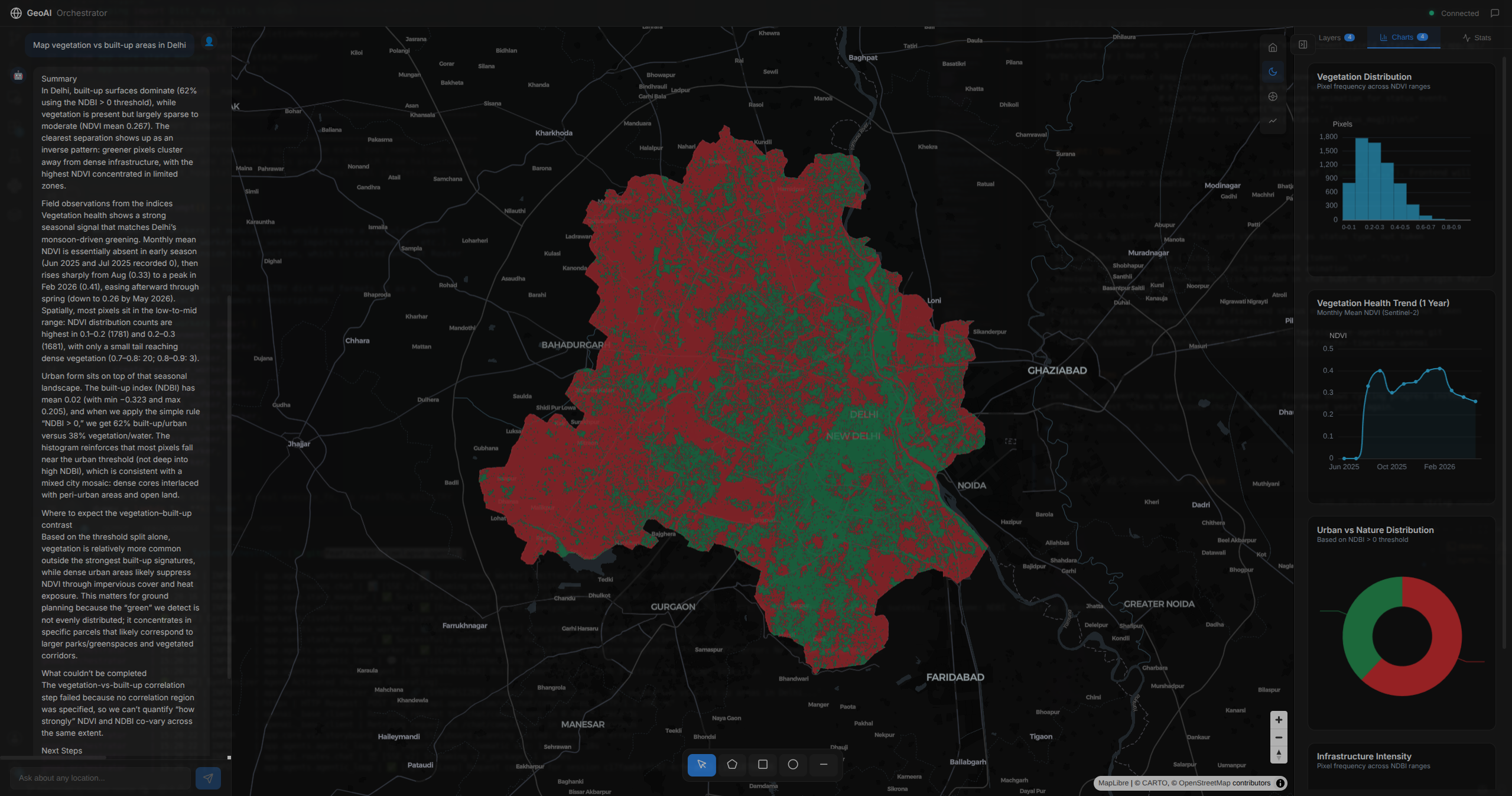
Our engine automates the entire satellite pipeline - discovering scenes, fusing optical and radar, computing indices, and quantifying change, then serving it as maps, charts, and an API. What took days of specialist work now takes minutes.
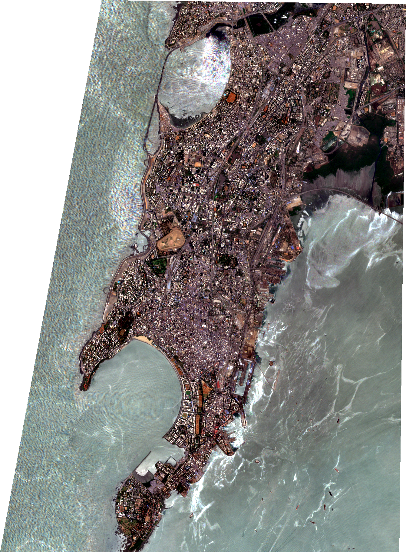
Any area, any dates
On-demand fetch for your exact AOI and time range.
Any area, any dates
On-demand fetch for your exact AOI and time range.
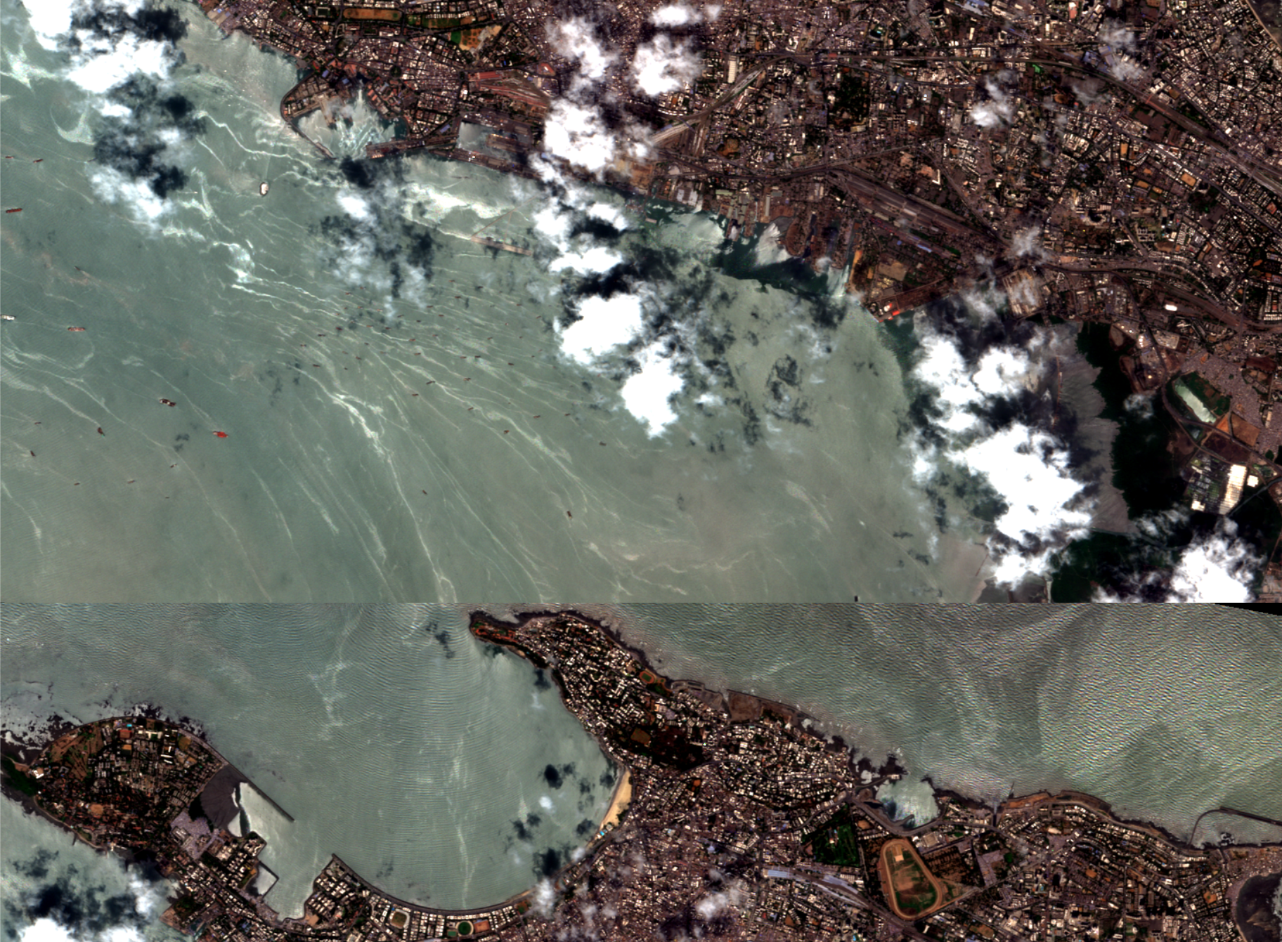
Optical + radar, fused (all-weather)
Optical combined with Radar, clouds and monsoon never create blind spots - gap-free, year-round.
Every band + ready indices
Full spectral band access with pre-computed vegetation, water, and urban indices, ready to analyze.
Time-series over months & years
Continuous charts of any index, with a confidence flag on every data point.
2020
Drag to explore
Explore More