Aviation
Securing airspace and optimizing airport operations, mapping flight corridors and monitoring infrastructure health through ultra-high-resolution 3D mapping, dynamic risk awareness, and rigorous geospatial intelligence and compliance frameworks.
SOLUTIONS
What we offer in
LiDAR-Driven Airport Obstacle & Infrastructure Survey
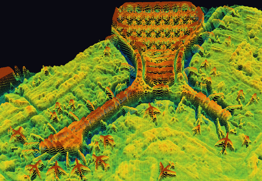
Architecting safe, scalable operations by leveraging ultra-high-resolution LiDAR point clouds and 3D terrain models into a unified GIS-powered aerodrome management framework. We automate Obstacle Limitation Surface (OLS) analysis and extract critical clearance limits for DGCA and ICAO eTOD compliance. By integrating highly accurate terrain elevation, micro-obstacles, and precision runway pavement models, we optimize approach routes and enable rigorous aviation safety assessments for commercial and military airports.
Bird Strike & Wildlife Hazard Mapping
Enhancing aerodrome safety by visualizing historical bird strike data through a dynamic, interactive spatial dashboard. By mapping past wildlife incidents in relation to active runways and approach corridors, we empower aviation authorities to identify high-risk zones, assess temporal incident frequencies, and implement data-driven hazard mitigation strategies to safeguard critical flight operations.
Potential Helicopter Landing Site
Identifying safe and strategic potential helipad locations by leveraging high-resolution 3D terrain models and spatial multi-criteria evaluation. By analyzing surface gradients, surrounding obstacle clearances, and safe approach/departure corridors, we enable the precise selection of compliant landing zones for emergency medical response, corporate aviation, and tactical military deployments, ensuring strict adherence to rigorous aviation safety regulations.
OLS 3D Mapping
Architecting interactive aerodrome digital twins to visualize complex Obstacle Limitation Surfaces (OLS) under ICAO regulations. By mapping critical aviation planes against 3D terrain, we pinpoint penetrating obstacles to safeguard flight corridors and ensure strict regulatory compliance.
Measurable impact,proven results
Driving a Safer, More Resilient Future of Flight By proactively mitigating operational risks and optimizing infrastructure, spatial intelligence fosters a safer, more resilient aviation ecosystem. It ensures uncompromised passenger safety today while laying the critical foundation for next-generation autonomous flight.