Agriculture
Transform agricultural operations with continuous geospatial intelligence that detects crop stress, forecasts yields, and simplifies crop insurance claims verification.
SOLUTIONS
What we offer in
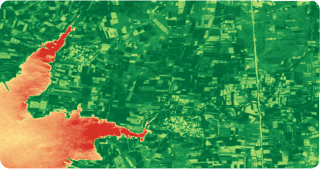
Crop Health Monitoring
Detecting early vegetative stress and layout shortages using continuous, high-resolution multispectral monitoring through interactive, actionable panels. These prevent crop failure and ensure robust harvests.
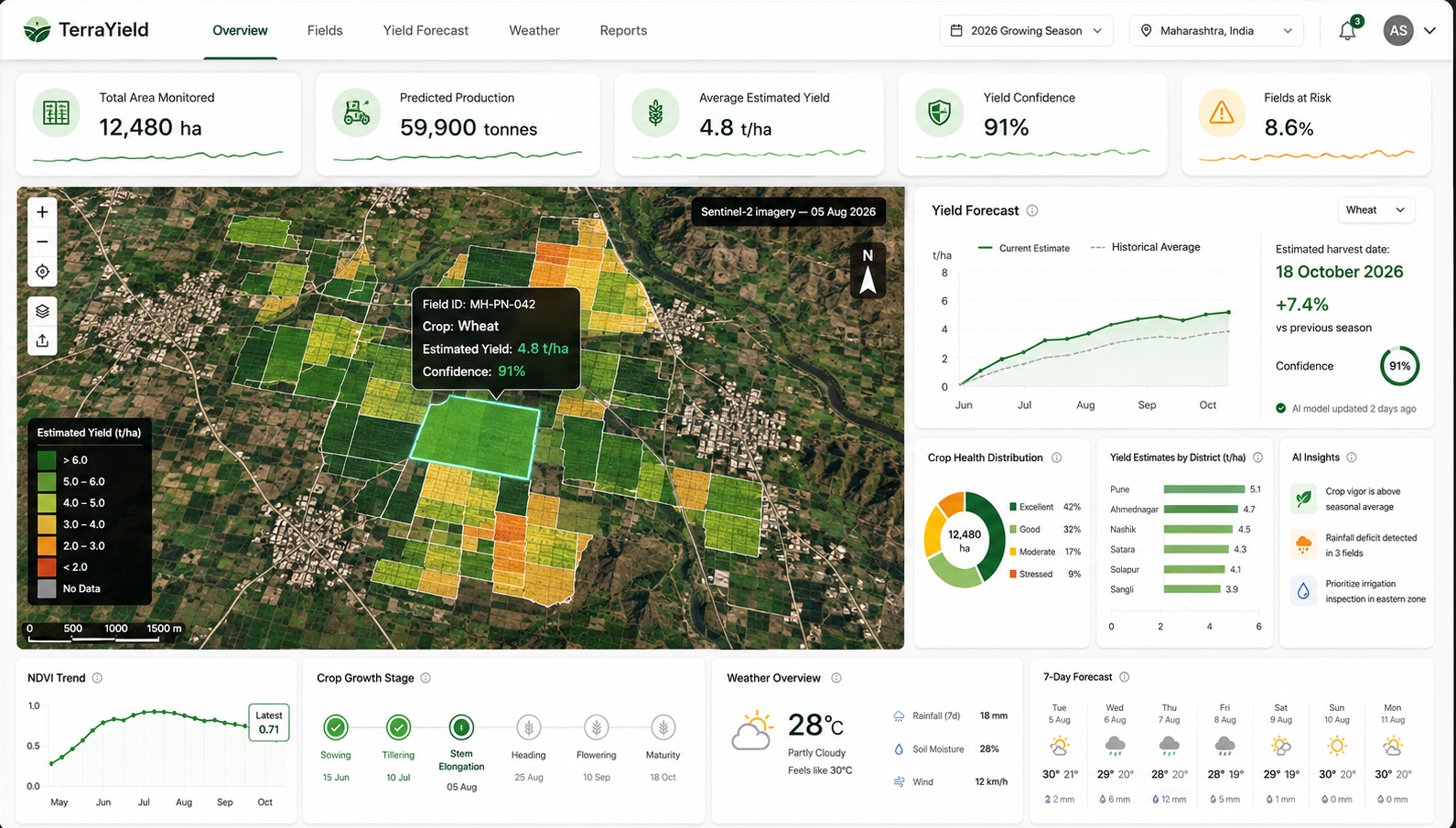
Yield Estimation
Forecasting harvest volumes and predicting agricultural output through advanced geospatial data modeling to help agribusinesses secure future revenues.
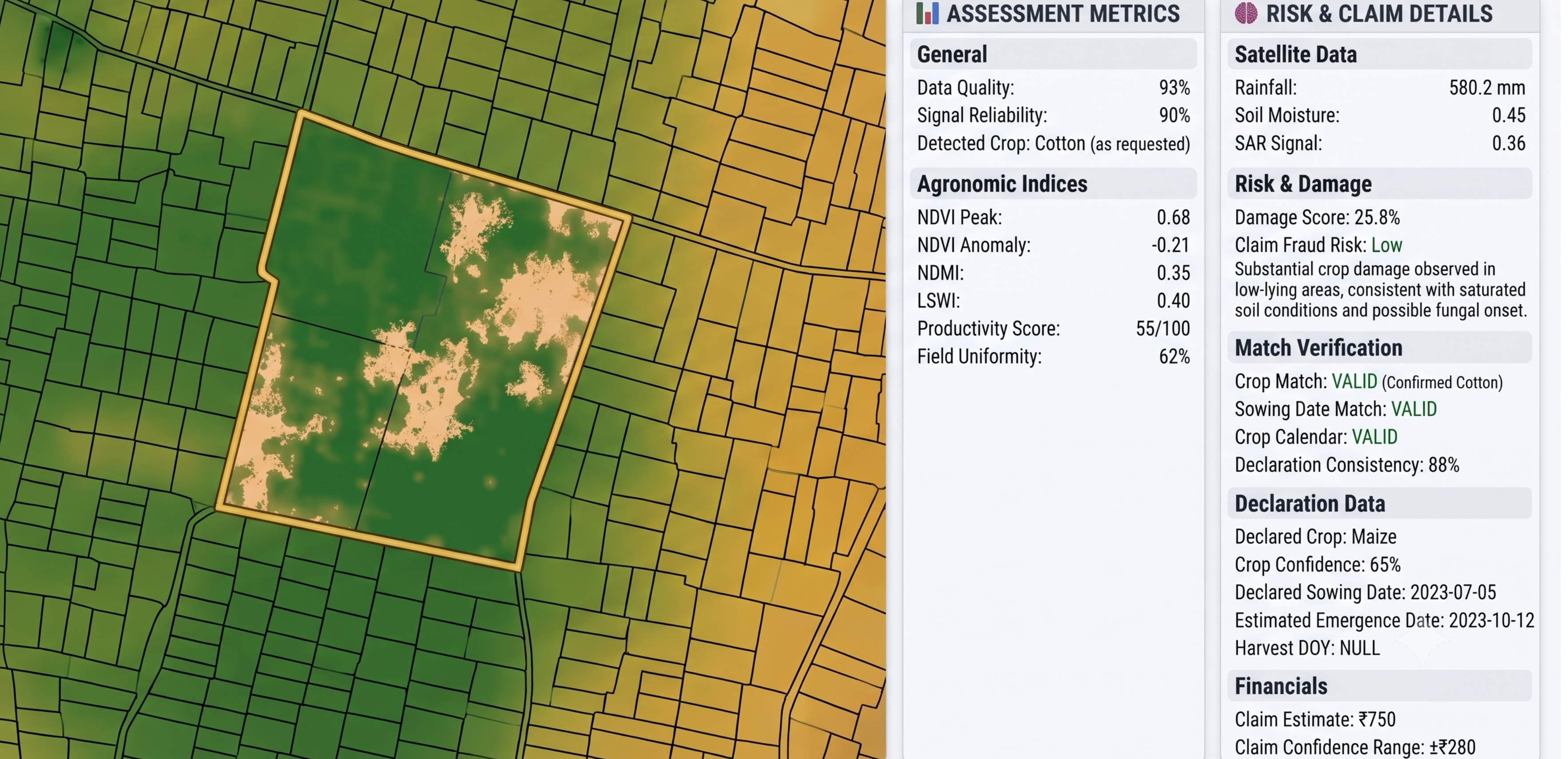
Insurance Claim Verification
Expediting claims resolution with clear historical crop loss tracking and reliable damaged area assessments for rapid, unbiased, and cost-effective payouts.
Measurable impact,proven results
Produce more with fewer inputs-remote-sensing-led precision agriculture has demonstrated nitrogen reductions of up to 49.6% without compromising crop yield, while satellite-informed management has identified average yield-improvement opportunities of 11%.