Infrastructure
Build smarter, more resilient infrastructure with geospatial and AI-powered intelligence that reveals urban change, optimises site selection, visualises complex environments, and strengthens resource planning.
Solutions
What we offer in
Urban Expansion
Monitoring the dynamic evolution of urban environments through advanced spatial analytics and continuous visual mapping to anticipate growth and optimize future infrastructure.
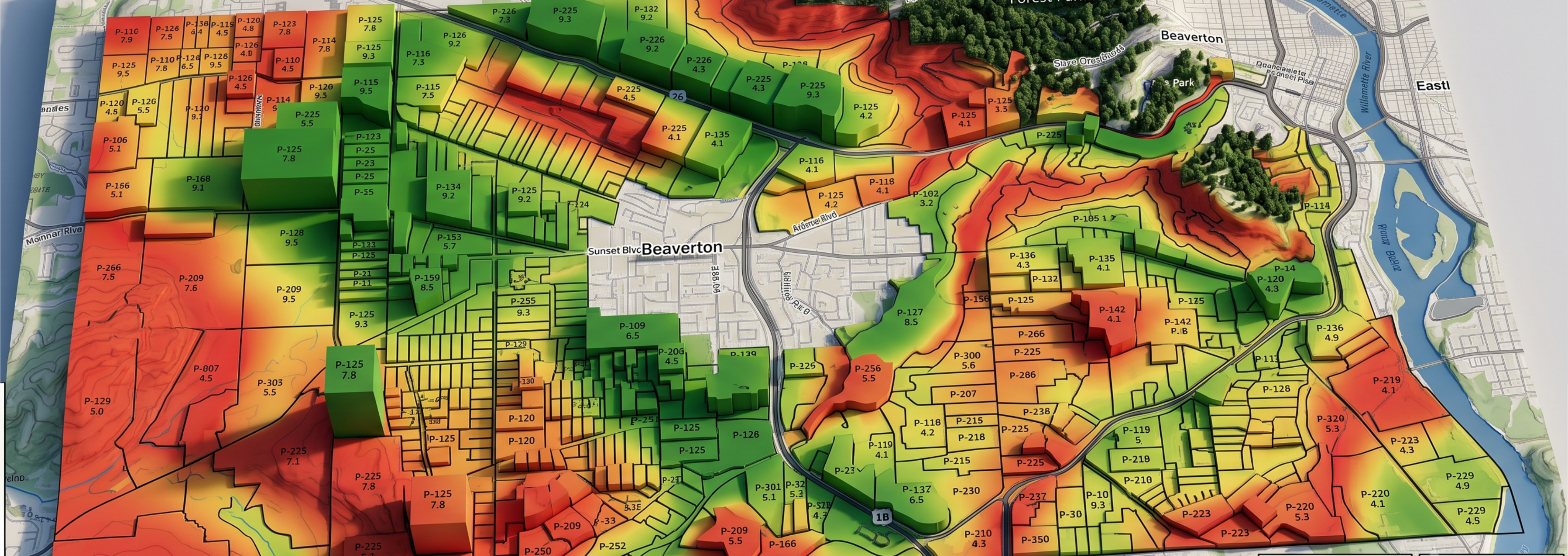
3D Visualisation
Transforming complex geospatial datasets into immersive, high-fidelity 3D landscapes to empower stakeholders with unparalleled spatial clarity and decision-making capabilities.
Site Suitability
Empowering strategic commercial expansion by leveraging diverse geospatial metrics to pinpoint optimal land locations and maximise return on investment.
Water Resource Management
Engineering resilient infrastructure and impact analysis and optimising vital resources through highly accurate, three-dimensional hydro-spatial models for water security and long-term sustainability.
Measurable impact,proven results
Turn spatial intelligence into measurable infrastructure performance - with digital twins and advanced analytics capable of improving construction productivity by more than 26% and overall business effectiveness by approximately 10%.