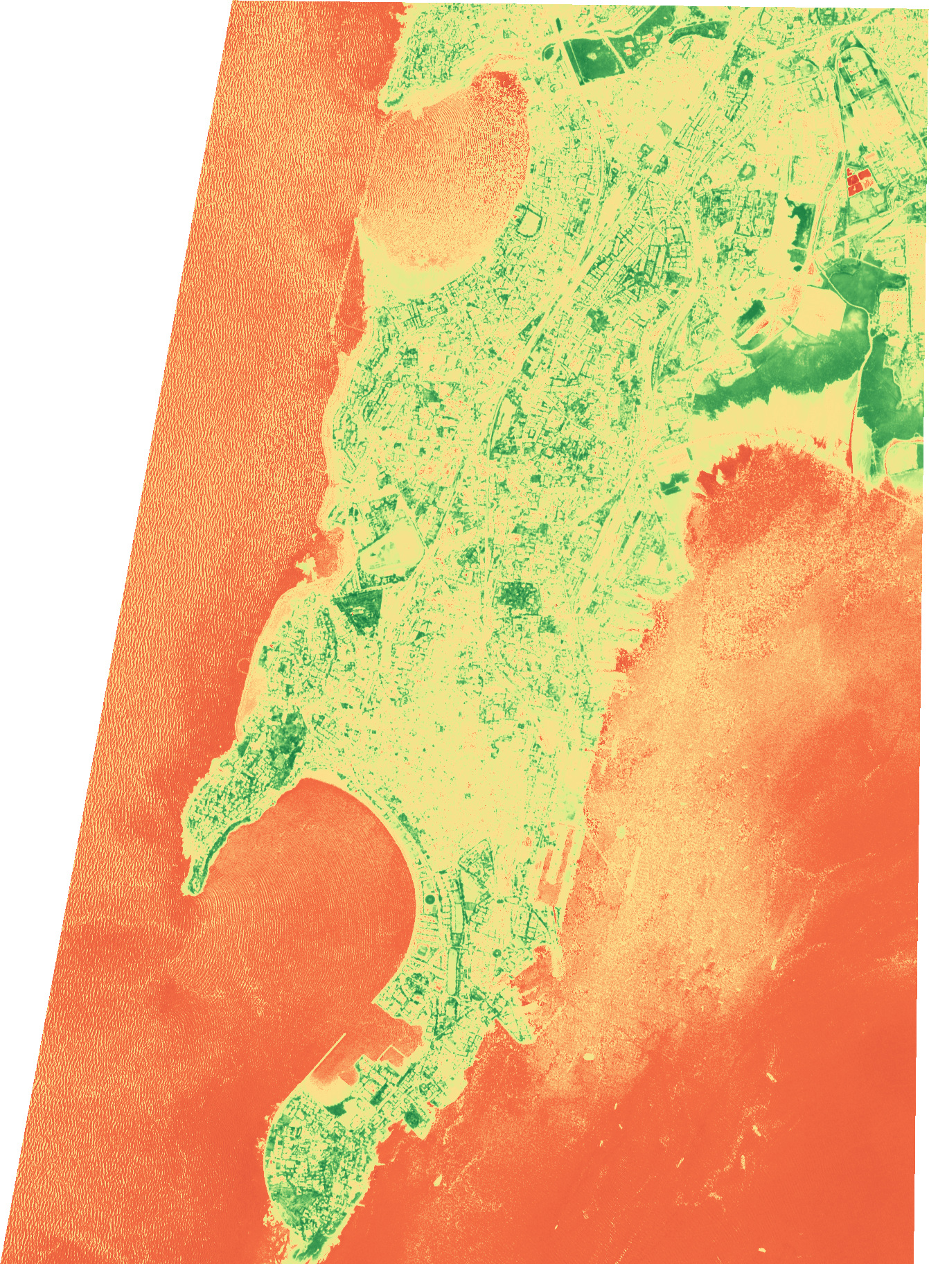
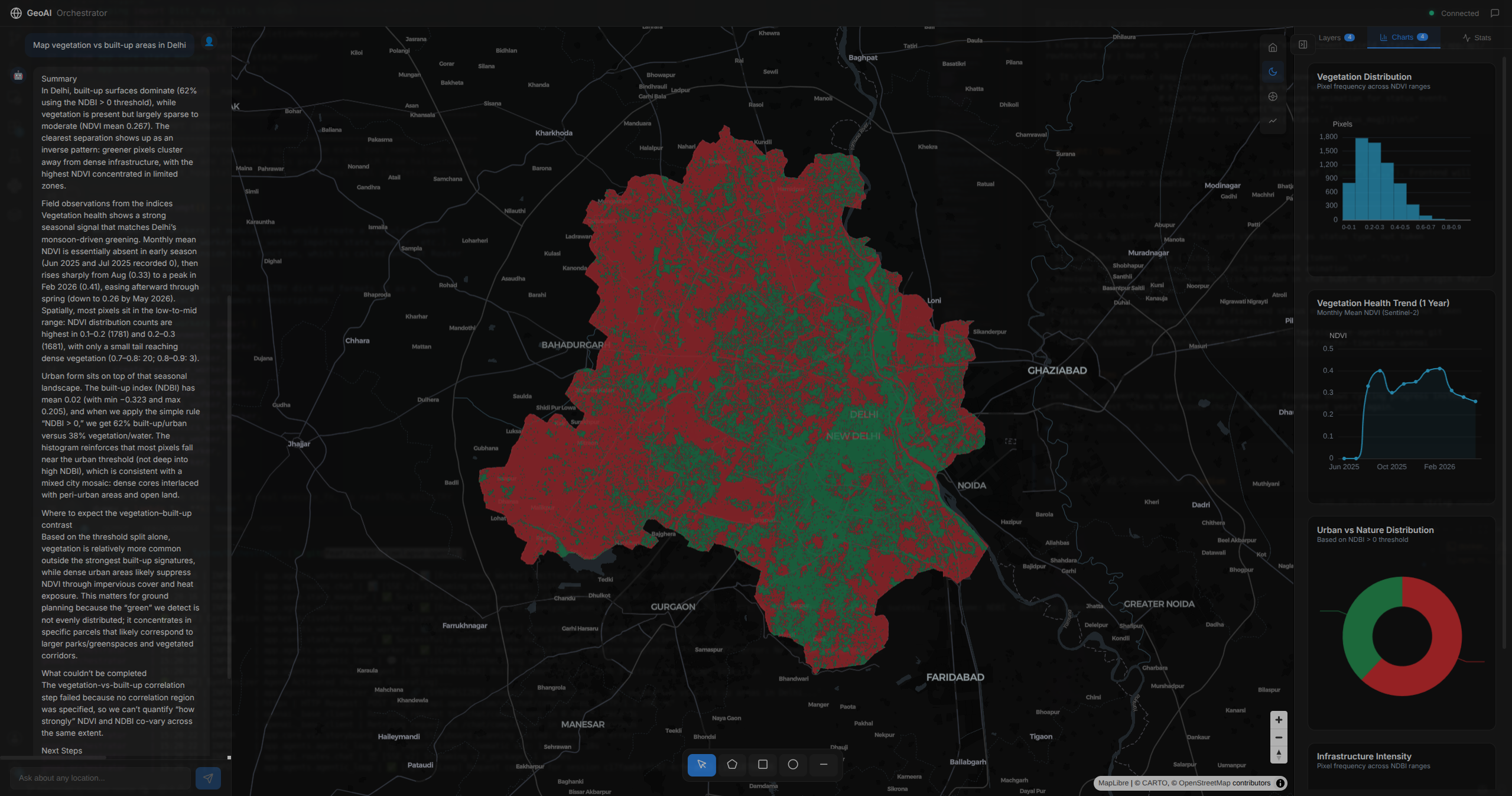
Upload your drone images. Get survey-grademaps and models - automatically
One-click photogrammetry that turns raw drone imagery into professional, analysis-ready deliverables. No expertise, no setup.
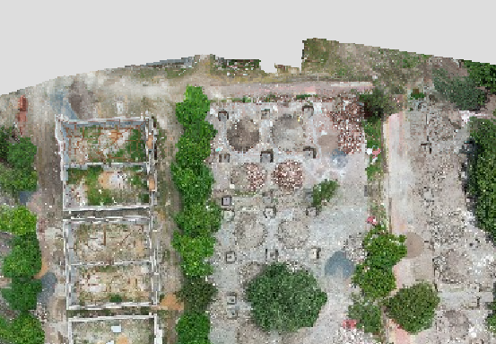
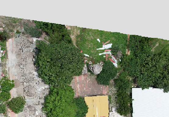
Upload your drone images and our platform does the rest - one pre-tuned engine turns thousands of raw photos into a complete set of georeferenced deliverables. No parameters, no setup, no photogrammetry expertise.
One-click, fully automated
Upload JPEG or TIFF; GPS is read from the images. No parameters, no presets, no photogrammetry expertise.
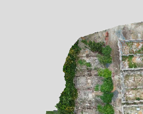
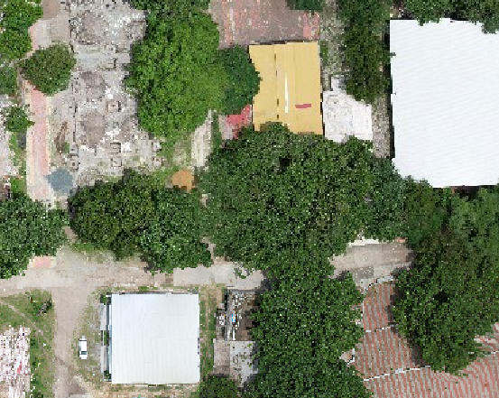
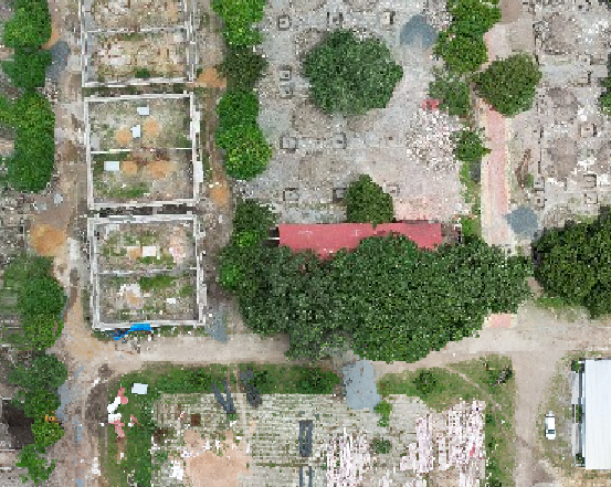
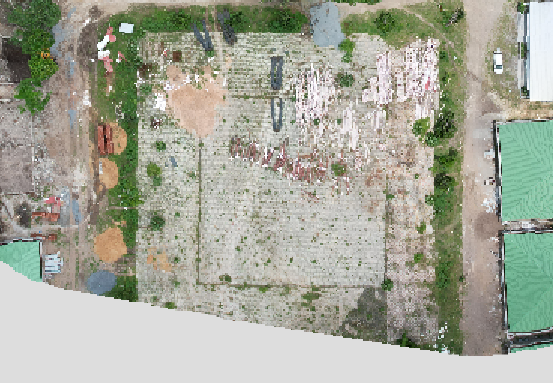
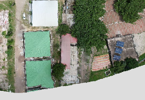
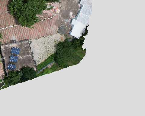
One-click, fully automated
Upload JPEG or TIFF; GPS is read from the images. No parameters, no presets, no photogrammetry expertise.
A complete deliverable set
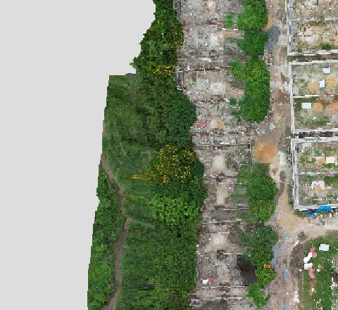
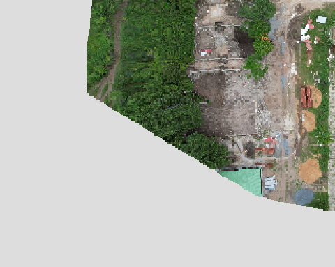
Orthomosaic, DSM, DTM, dense point cloud, contours, and an auto-generated quality report - all georeferenced.
Survey-grade accuracy
Georeferenced and coordinate-accurate, with ground-control support and reprojection for verifiable precision.

GPU-accelerated processing
Heavy reconstruction runs fast on large datasets - and scales in the cloud.
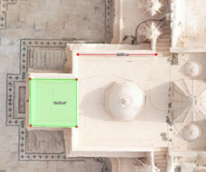
Review and measure in the browser
Built-in 2D map and 3D point-cloud viewers, with distance, area, and stockpile-volume tools. No external GIS.
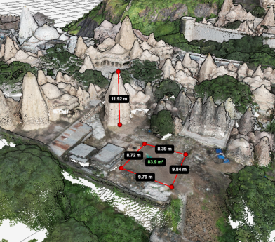

Your hardware or ours
Deploy on-premise or run in the cloud. Exports to GeoTIFF, LAS/LAZ, DXF, SHP, and more with reports.

Explore More